Kids & Family
Heat Wave Continues, Triple Digit Temps May Reach Hills
Expect no relief from the heat this weekend.
Valley and inland highs are forecast to break 100 degrees again Saturday, and the mountains and deserts could be hit with another thunderstorm.
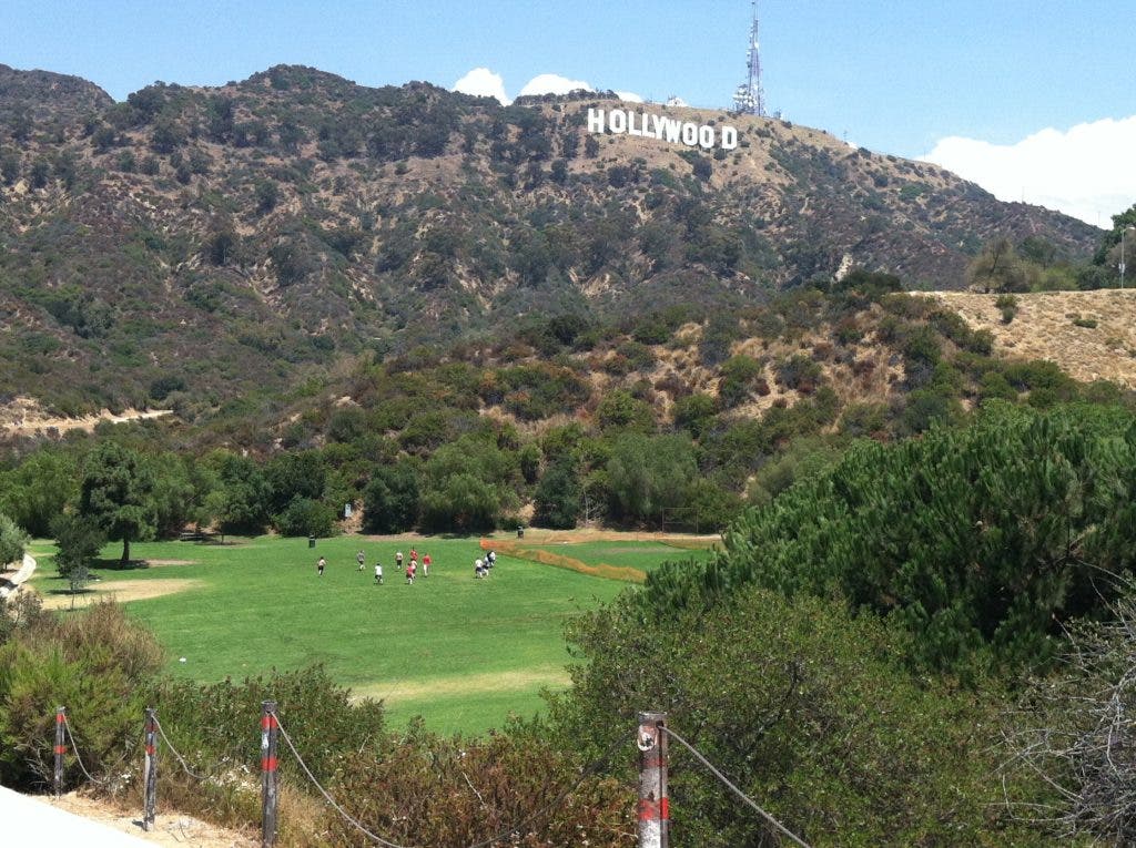
Parts of the Hollywood Hills and the Santa Monica Mountains could reach about 100 degrees. Coastal highs will top out around 80, according to the NWS.
In the San Fernando, San Gabriel and Santa Clarita valleys, National Weather Service forecasters predict highs of 94-101 degrees. The high desert should top out around 104 degrees.
Find out what's happening in Hollywoodwith free, real-time updates from Patch.
Because of relatively warm ocean temperatures — water temperatures in the surf zone are in the mid and upper 60s — minimal morning fog and low clouds are forecast. But partial cloud cover, owing to a high-pressure system over the Great Basin drawing in moisture from the south, should provide a little shade in the afternoon.
In the mountains and high desert, forecasters predict a 30 percent chance of afternoon and evening thunderstorms. Lightning punctuated downpours swelled normally dry river beds into muddy, boulder-tossing torrents in parts the Inland Empire Friday afternoon.
Find out what's happening in Hollywoodwith free, real-time updates from Patch.
Sunday should be a degree or two cooler. Noticeably cooler weather should arrive by Wednesday, when an onshore breeze is expected to pick up and valley highs are forecast be in the 90s. Since Aug. 4, valley highs have topped 100 degrees daily.
Stay connected with Hollywood Patch throughout the day on Facebook and Twitter. Subscribe to our free daily newsletter for email updates.


